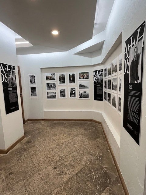
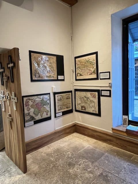
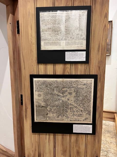
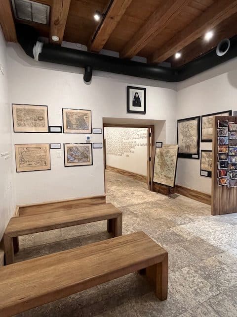
An Exhibition of Sixteen Antique Maps 1550 – 1972
From the Map Collection of Steve Douvas
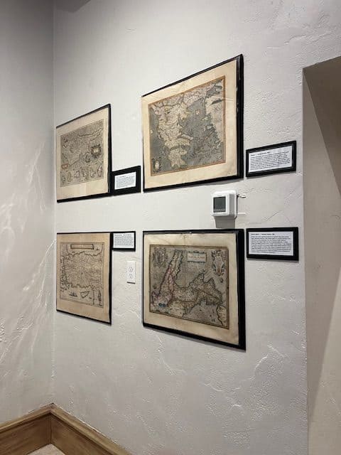
For over two thousand years, Greece has lived simultaneously as a landscape, a memory, and an idea. From the Renaissance revival of classical geography to the scientific surveys of the Enlightenment, from the struggle for independence to the geopolitical upheavals of the 20th century – maps of Greece reveal how Europe has viewed, studied, contested, and imagined this ancient land.
This exhibition presents sixteen original maps, arranged across five centuries, illustrating the evolution of cartography and the shifting histoical forces that shape the region. Here you will see the precision of Mercator, the artistry of the Dutch Golden Age, the scientific rigor of De L’Isle, the nationalist vision of Sotiriadis, and the strategic detail of modern military mapping.
More than geographic documents, these maps are artifacts of diplomacy, scholarship, empire, identity, and cultural memory. Together they offer a visual journey through the changing ways Greece and Cyprus were charted, understood, and portrayed – reflecting not only the world as it was, but also the world as each era aspired to see it.